


🏖️ தலைமன்னார் கடற்கரை
தலைமன்னார் கடற்கரை என்பது இலங்கையின் வடமேற்கு முனையில் உள்ள மன்னார் மாவட்டத்தில் அமைந்துள்ள அமைதியான மற்றும் அழகிய கடற்கரைப் பகுதி ஆகும். இது பாக்கு நீரிணை மற்றும் இந்திய பெருங்கடல் சந்திக்கும் பகுதிக்கு அருகில் அமைந்துள்ளது. இதனால் இந்தியா நோக்கி கடலைக் கடந்து பார்க்கக்கூடிய அழகிய காட்சிகள் கிடைக்கின்றன.
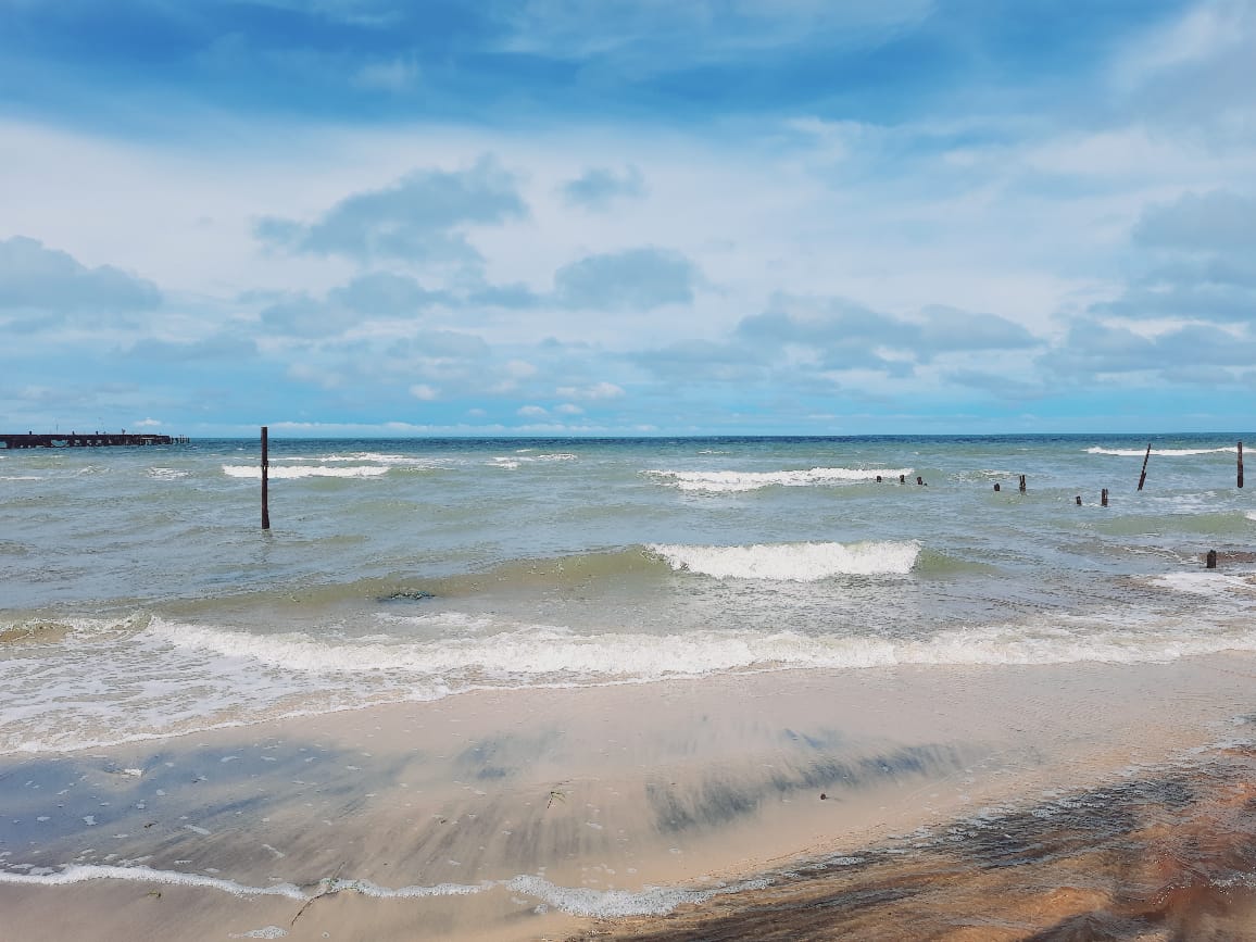
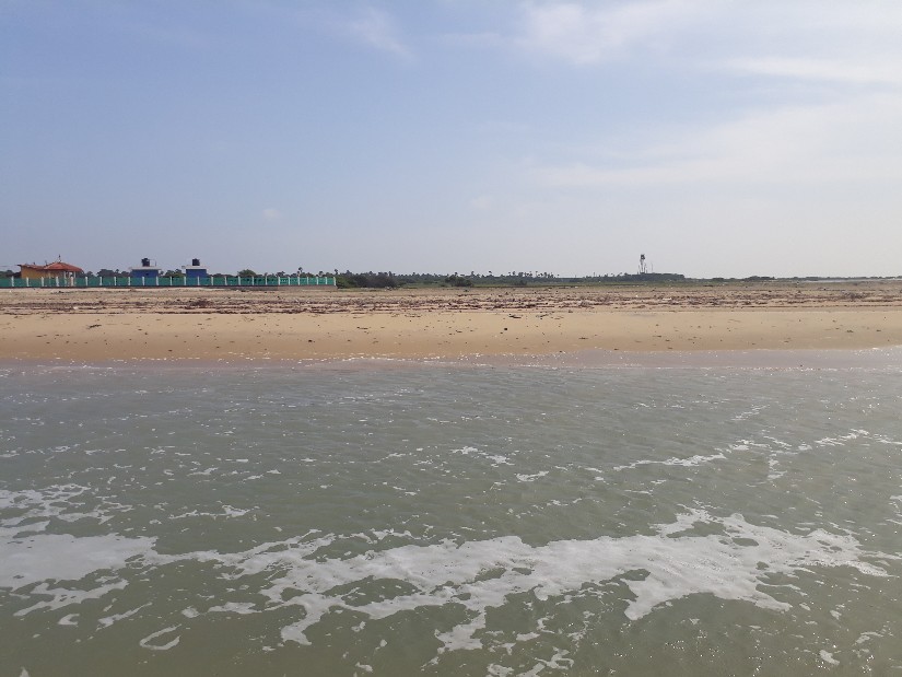
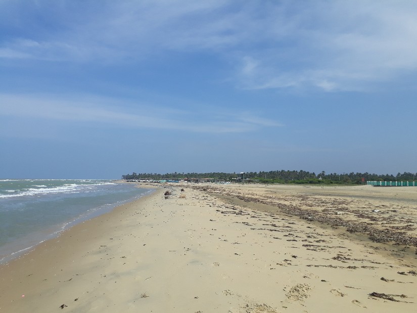
இந்த கடற்கரை மென்மையான மணல், ஆழமற்ற நீல நீர் மற்றும் அமைதியான சூழல் ஆகியவற்றால் பிரபலமாக உள்ளது. அதிகமான சுற்றுலா கூட்டம் இல்லாததால் இயற்கையை நேசிக்கும் பயணிகளுக்கு இது சிறந்த இடமாக விளங்குகிறது. சூரிய அஸ்தமனத்தின் போது கடல் தங்க நிறமாக மாறும் காட்சி மிகவும் அழகாக இருக்கும்.
தலைமன்னார் கடற்கரை வரலாற்று முக்கியத்துவம் வாய்ந்த பகுதியிலும் அமைந்துள்ளது. பழங்கால கடல் வணிக பாதைகள் மற்றும் ஆதாம் பாலம் பகுதிக்கு அருகில் இது அமைந்துள்ளது. இதனால் இது புவியியல் மற்றும் வரலாற்று ஆய்வுகளுக்கு முக்கியமான இடமாகும்.
இங்கு மீன்பிடி தொழில் முக்கிய வாழ்வாதாரமாக உள்ளது. உள்ளூர் மக்கள் பாரம்பரிய மீன்பிடி முறைகளை தொடர்ந்து பயன்படுத்துகின்றனர். அருகிலுள்ள தலைமன்னார் கலங்கரை விளக்கம் மற்றும் இந்தியாவுக்கு செல்லும் கடல் பாதை ஆகியவை கூடுதல் ஈர்ப்புகளாகும்.
🍃 மொத்தத்தில், தலைமன்னார் கடற்கரை இயற்கை அழகு, அமைதி மற்றும் வரலாற்று முக்கியத்துவம் ஆகியவற்றின் சிறந்த கலவையாக விளங்குகிறது.
🏖️ Thalaimannar Beach
Thalaimannar Beach is a serene and scenic coastal destination located at the northwestern tip of Sri Lanka in the Mannar District. It lies near the famous Talaimannar Point, where the Indian Ocean meets the Palk Strait, offering breathtaking views across the sea toward India. The beach is known for its calm environment, soft sandy shores, and shallow turquoise waters.
This coastal stretch is less crowded and remains relatively untouched, making it an ideal destination for nature lovers, photographers, and visitors seeking peace and relaxation. The beach is also historically significant, as it is located close to ancient maritime routes and the legendary Adam’s Bridge region.
Thalaimannar Beach is well known for its stunning sunsets, where the sky turns golden over the horizon. The surrounding area is rich in biodiversity, especially marine life and migratory birds, making it attractive for eco-tourism. Fishing is an important livelihood for local communities, and traditional fishing activities can often be seen along the coast.
🍃 Visitors can also explore nearby attractions such as the Thalaimannar Lighthouse and the ferry point to India, adding cultural and historical value to the visit.
🏖️ තලෙයිමන්නාරම් වෙරළ
තලෙයිමන්නාරම් වෙරළ යනු ශ්රී ලංකාවේ වයඹ දිග අන්තයේ මන්නාරම් දිස්ත්රික්කයේ පිහිටි සන්සුන් හා අලංකාර වෙරළ තීරයකි. මෙය පාලක් සමුද්ර සන්ධිය සහ ඉන්දියානු සාගරය එකට එක්වන ප්රදේශයට ආසන්නව පිහිටා ඇත. එම නිසා ඉන්දියාව දිශාවට විහිදෙන සුවිශේෂී මුහුදු දර්ශන මෙහි දැකගත හැක.
මෙම වෙරළ තීරය සුදු පැහැති මෘදු වැලි, අඩු ගැඹුරු නිල් පැහැති ජලය සහ නිහඬ පරිසරය නිසා ප්රසිද්ධය. සංචාරකයන් අඩු වශයෙන් පැමිණෙන නිසා මෙය ස්වභාවික නිහඬතාවය භුක්ති විඳීමට සුදුසු ස්ථානයකි. සන්නෑය කාලයේදී අහස රන්වන් පැහැයට හැරෙන දර්ශනය විශේෂ ආකර්ෂණයකි.
තලෙයිමන්නාරම් වෙරළ ඓතිහාසික වශයෙන්ද වැදගත් වේ. මෙය පැරණි වෙළඳ නාවික මාර්ග සහ ආදම් පාලම ප්රදේශයට ආසන්නව පිහිටා ඇත. එබැවින් මෙය භූගෝලීය හා ඉතිහාස අධ්යයන සඳහාද වැදගත් වේ.
මෙහි ප්රධාන ජීවනෝපාය මාර්ගය ධීවර kර්මාන්තයයි. දේශීය ජනතාව සාම්ප්රදායික ධීවර ක්රම භාවිතා කරයි. ආසන්නයේ ඇති ප්රදීපාගාරය සහ ඉන්දියාවට යන මුහුදු මාර්ගයද සංචාරක ආකර්ෂණයන් වේ.
🍃 සමස්තයක් ලෙස, තලෙයිමන්නාරම් වෙරළ ස්වභාවික සුන්දරත්වය, නිහඬතාවය සහ ඓතිහාසික වටිනාකම එකට එක් කරන විශේෂ ස්ථානයකි.

